2014 Ukraine coup/Civil war/Maps
Jump to navigation
Jump to search
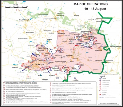
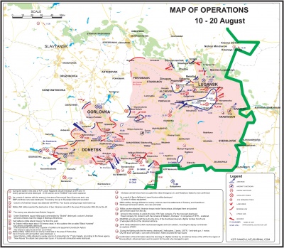
Donbas military situation - actions and dispositions maps
Maps created by Kot Ivanov and translated by Tony Hartin
These are high-resolution images (2851 x 2482 pixels). Download by clicking an image, then clicking again on the resulting image page.
Notations on the map are written from the perspective of the Donbas militia fighting the Ukrainian army. Thus "Enemy" indicates Ukraine military detachment
|
To 18 August 2014
|
To 20 August 2014
|

